Category: Uncategorized

  • The First 3D Geospatial Geneva Showcase Event

    On June 11 it was a warm afternoon when we all boarded taxis in front of the WMO lobby and promptly got stuck in a huge traffic jam in the center city. 

    IMG_2414

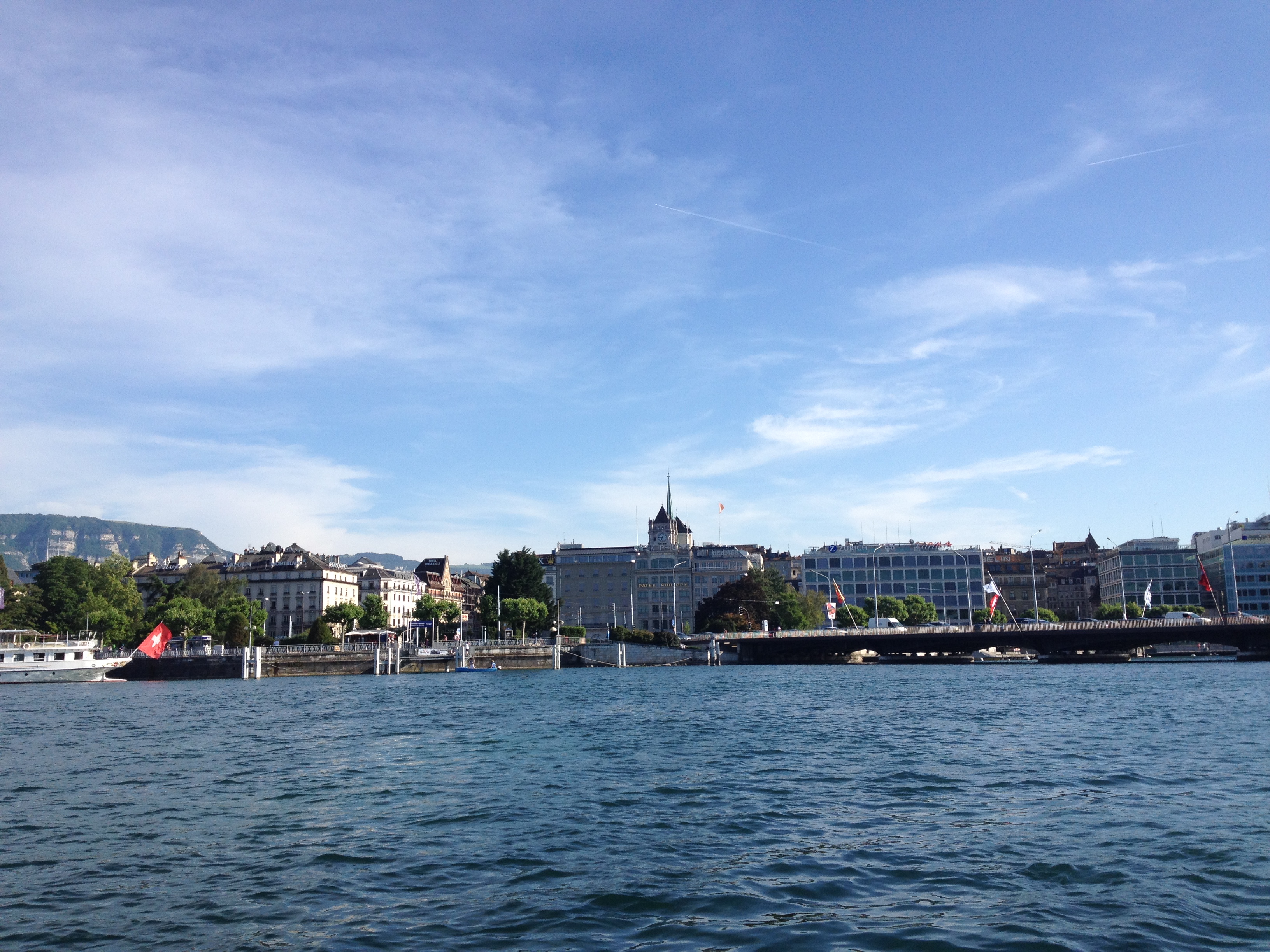
    After nearly 45 minutes during which some groups abandoned their taxis and walked along the shore of Lake Geneva to La Tour de Molard, everyone arrived safely at the meeting point.

    At the Tour de Molard we were joined by several others who had come from other parts of the city. We reorganized into teams and the 8 tablets (6 TegraNote 7 + 2 Google Nexus 7) connected to the Huawei mobile Internet access point provided by Scott Simmons (Laramie Range and CACI).

    We then skipped the planned first demonstration and rushed up the stairs and pedestrian streets to the Hotel de Ville.IMG_2423

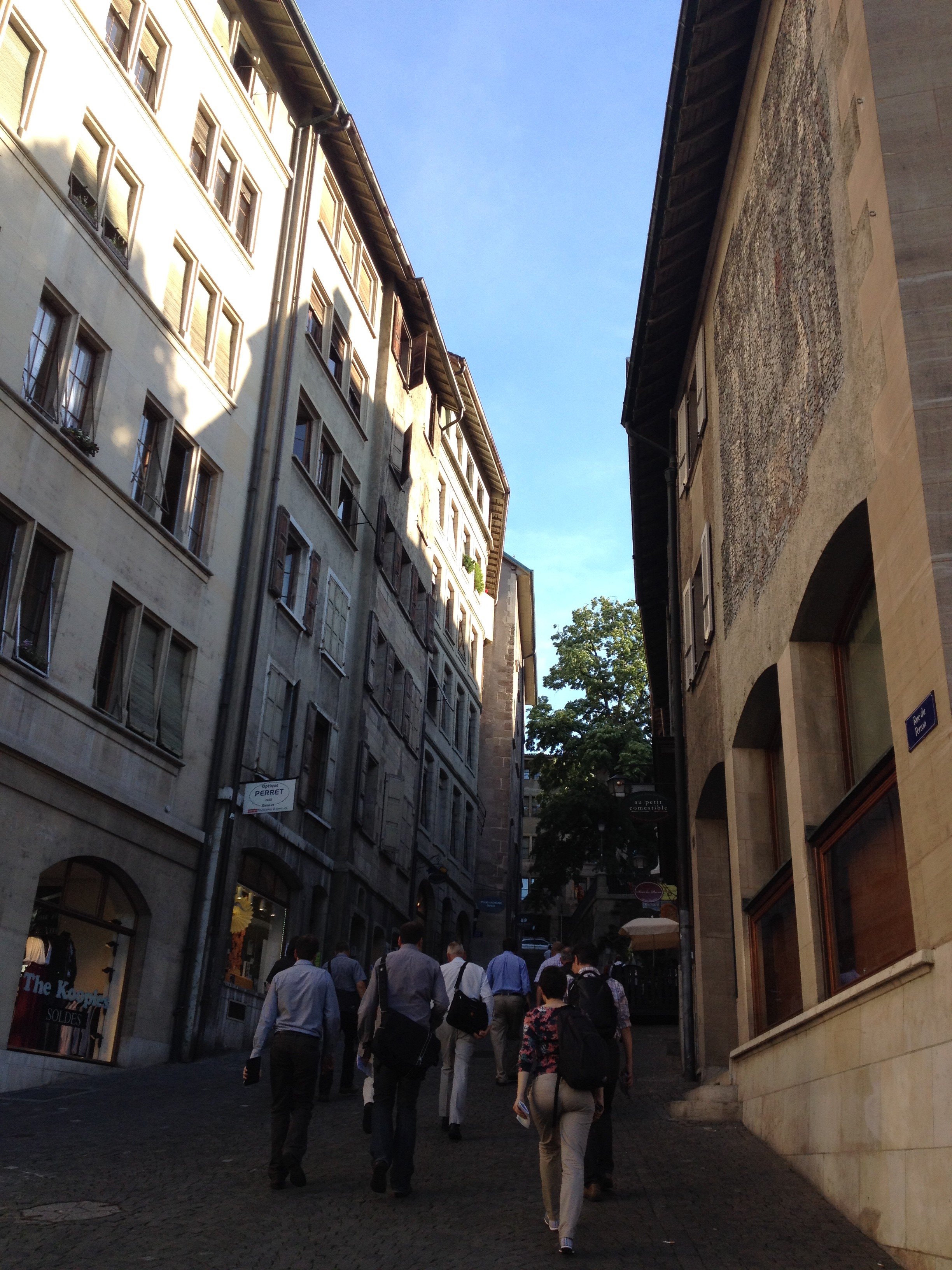
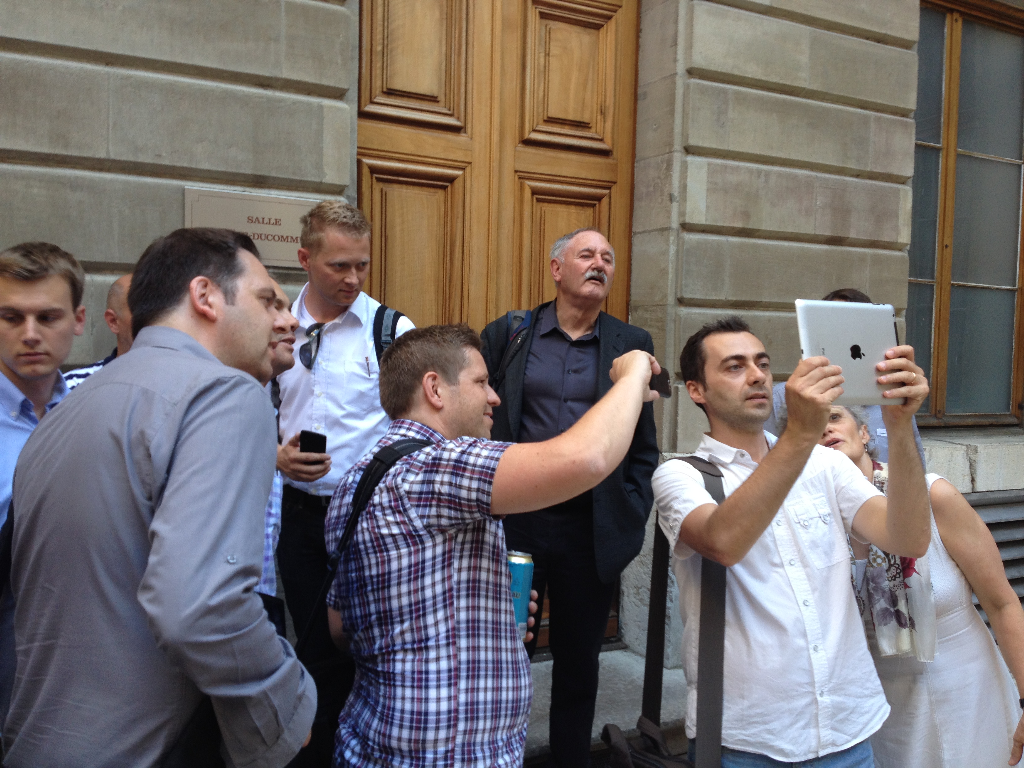
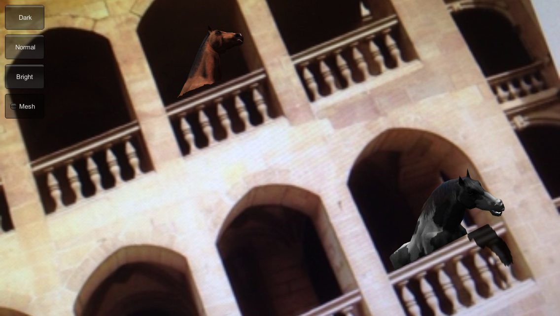
    We needed to reach the Hotel de Ville as soon as possible in order to conduct the demonstration of Inglobe Technology 3D Tracker on the interior staircase before the doors to the courtyard were to close to the public at 7 PM.


    After a brief introduction to the project prepared for us to experience horses in the interior staircase, everyone was able to see the project on the iPad which did not need to be Internet connected. Unfortunately, this project (unlike all the others) is not available on the Showcase tablets but everyone had a quick look. IMG_2428IMG_2432
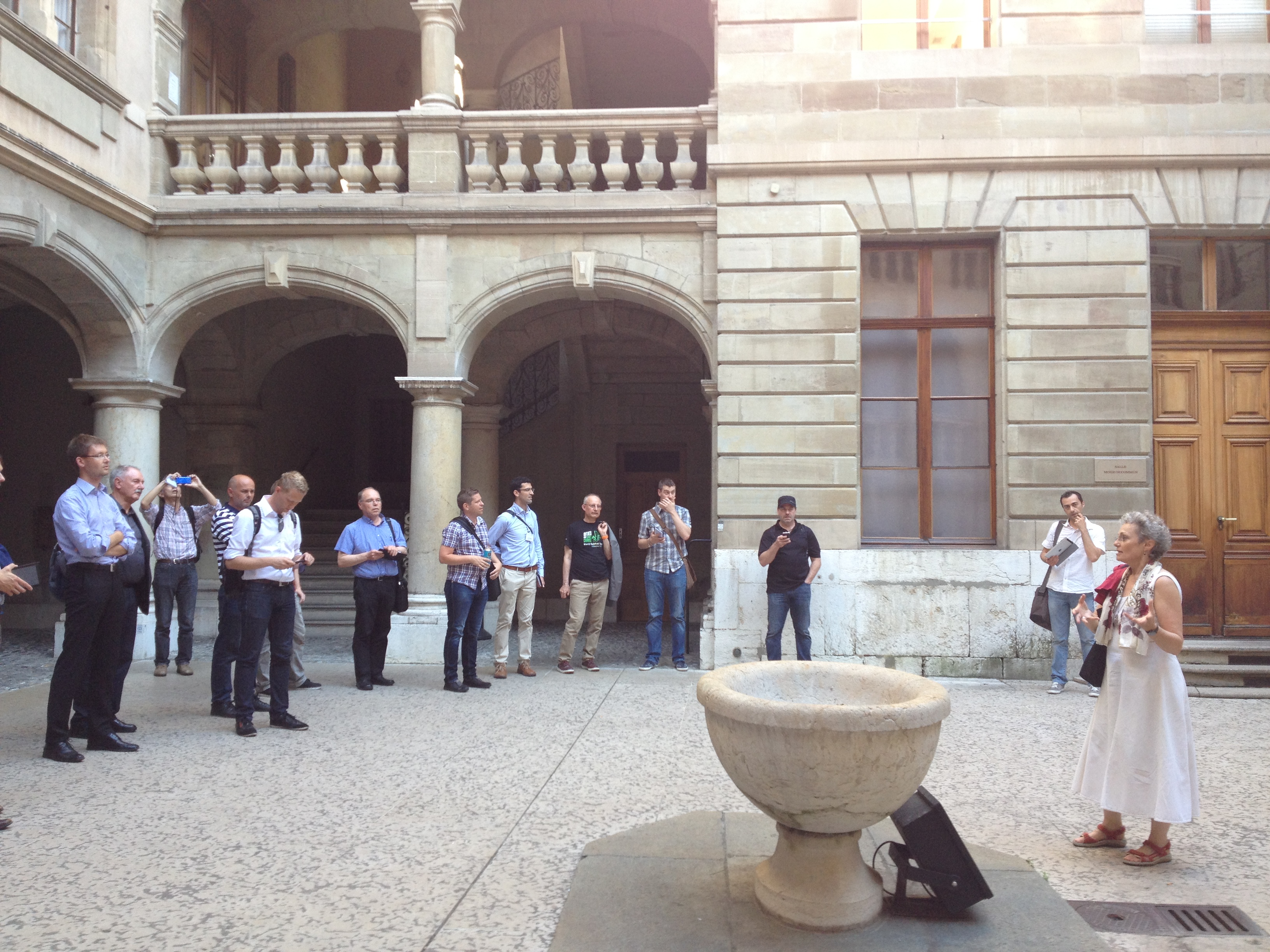
If you missed the demonstration, you can see the screenshots here.IMG_4520 IMG_4522

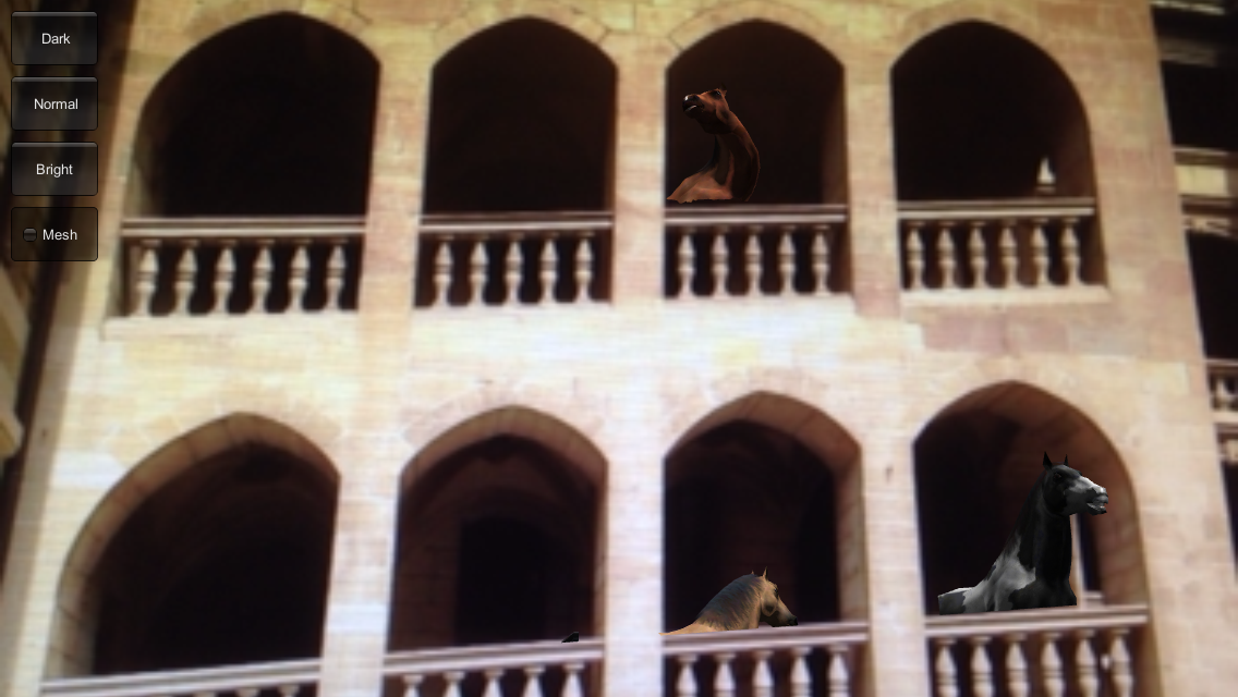
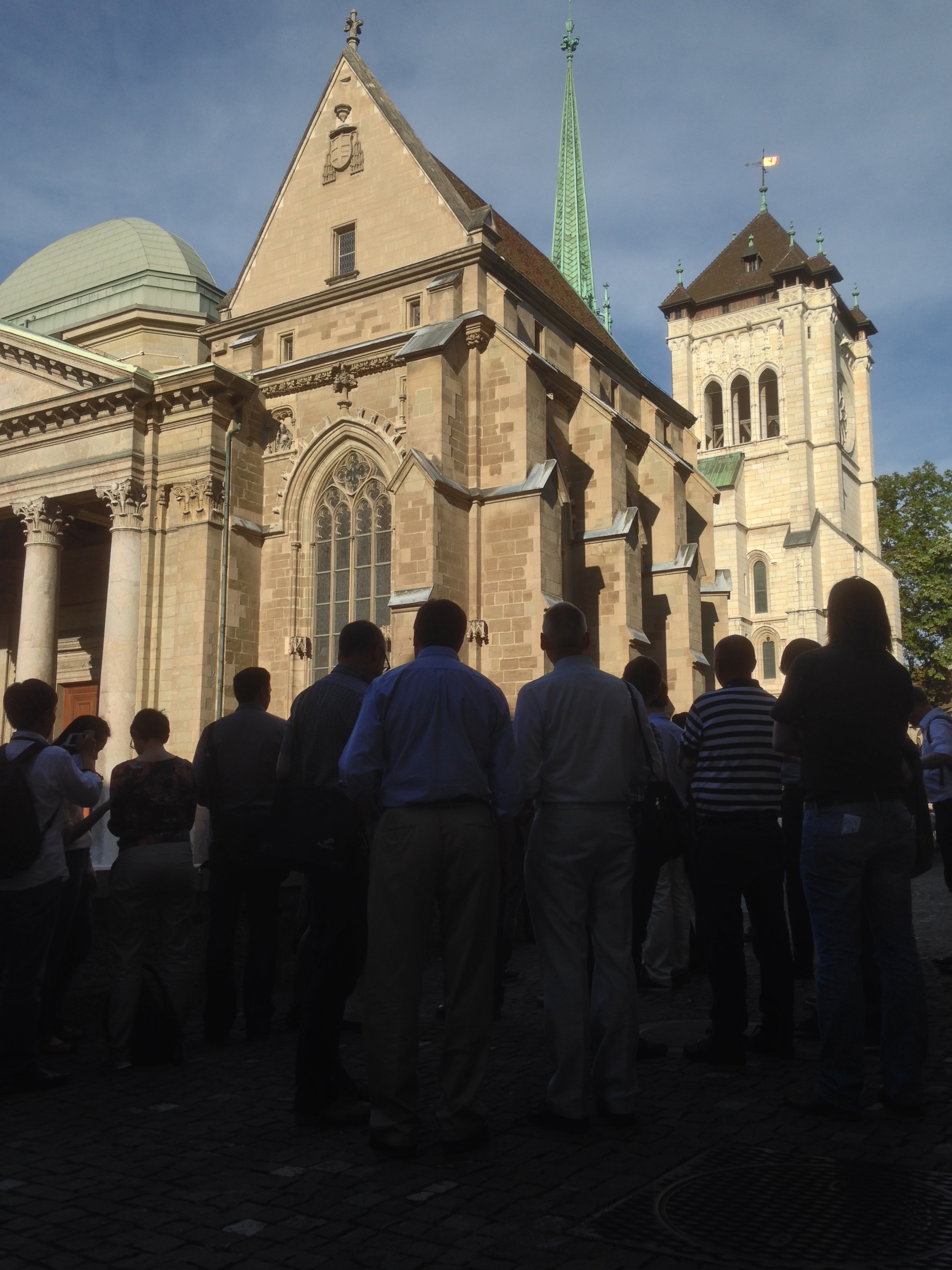
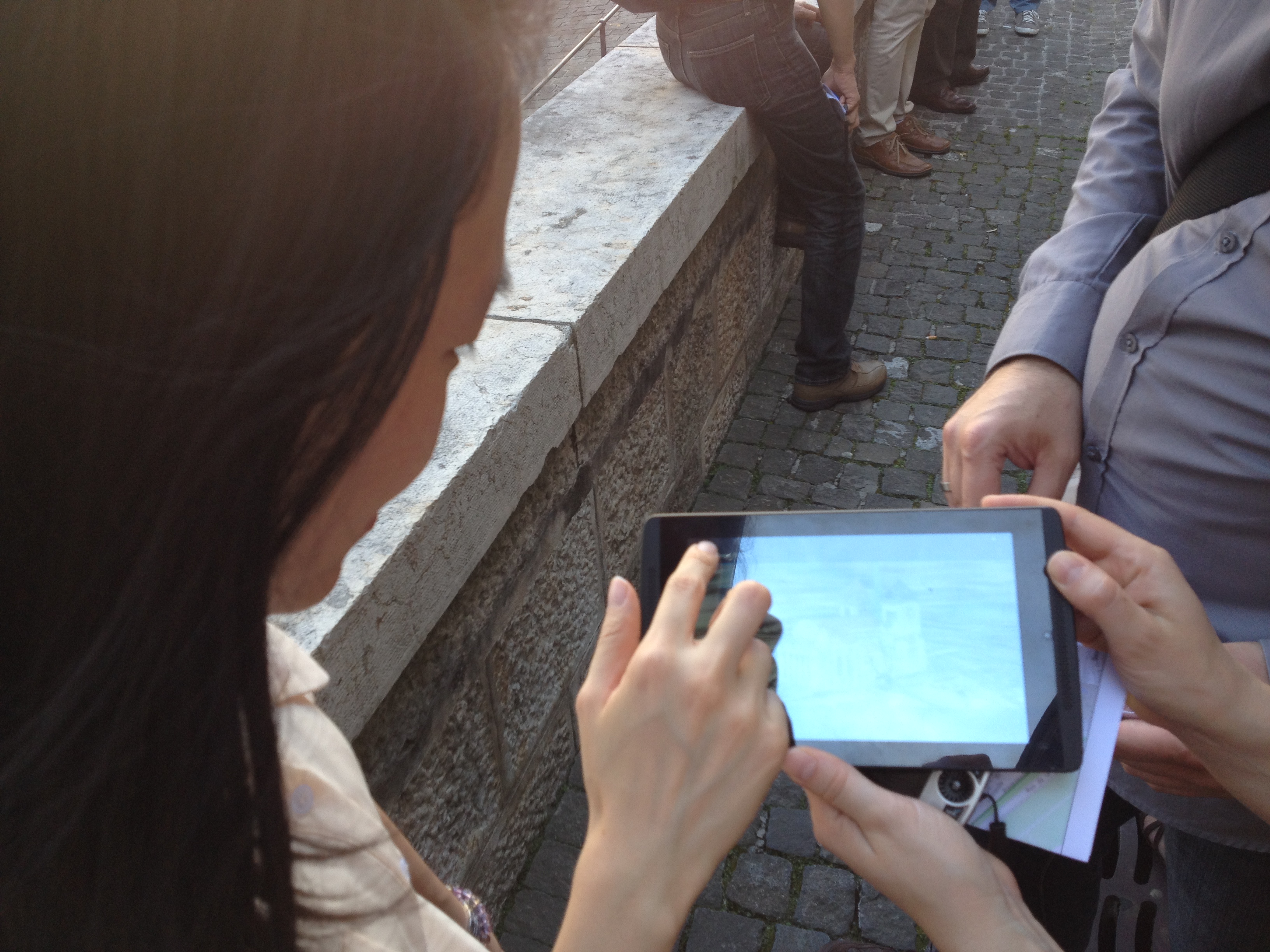
    We then walked through the tables of the guests dinning peacefully at the Hotel des Armures on our way to the balcony overlooking the place in front of the Cathedrale St. Pierre. Here we were undisturbed, cool and our target was brightly lit. In the shadow of the building, it was dark so that we could see the tablet screens clearly. IMG_4607 IMG_4609 IMG_4611

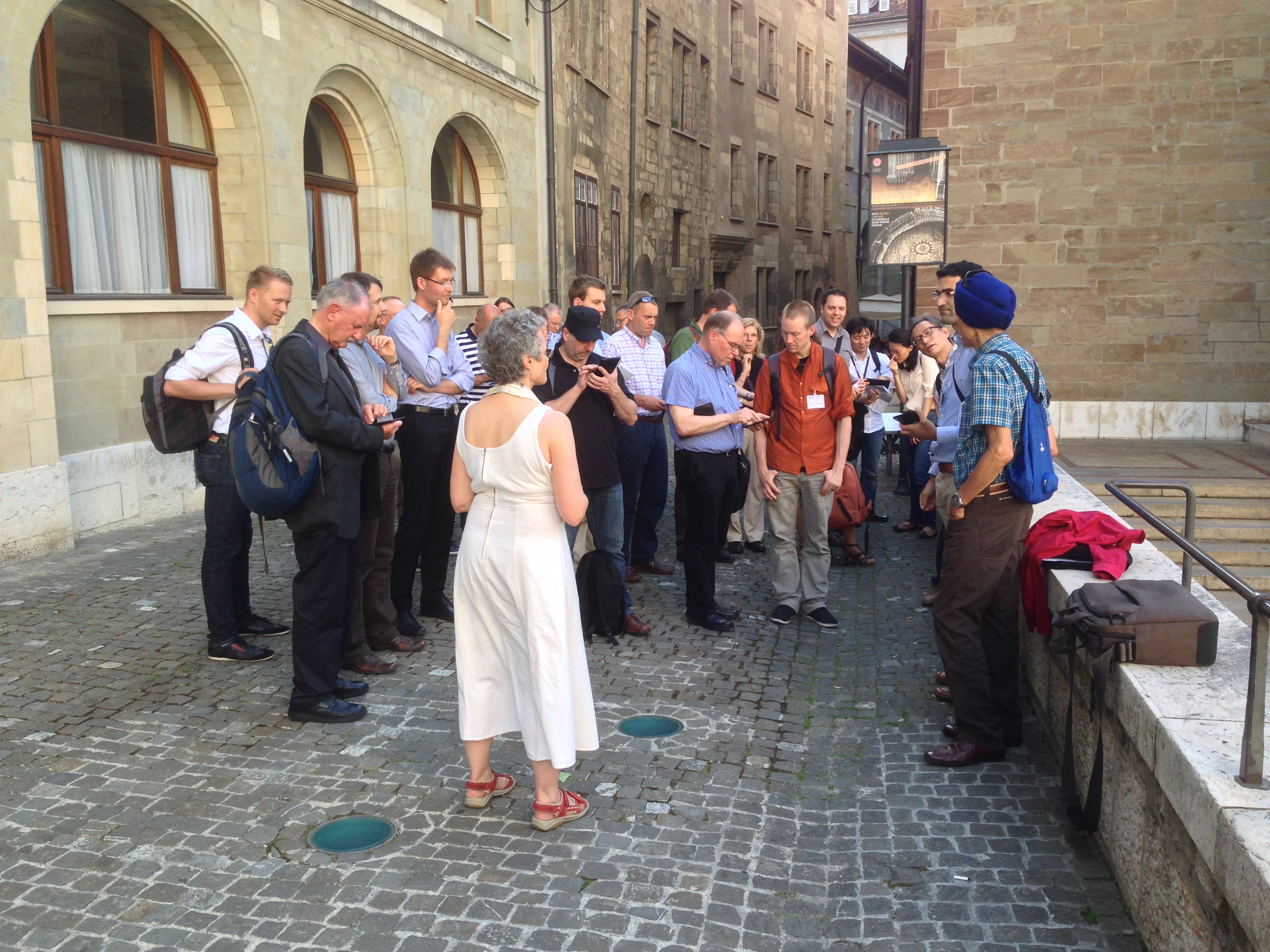
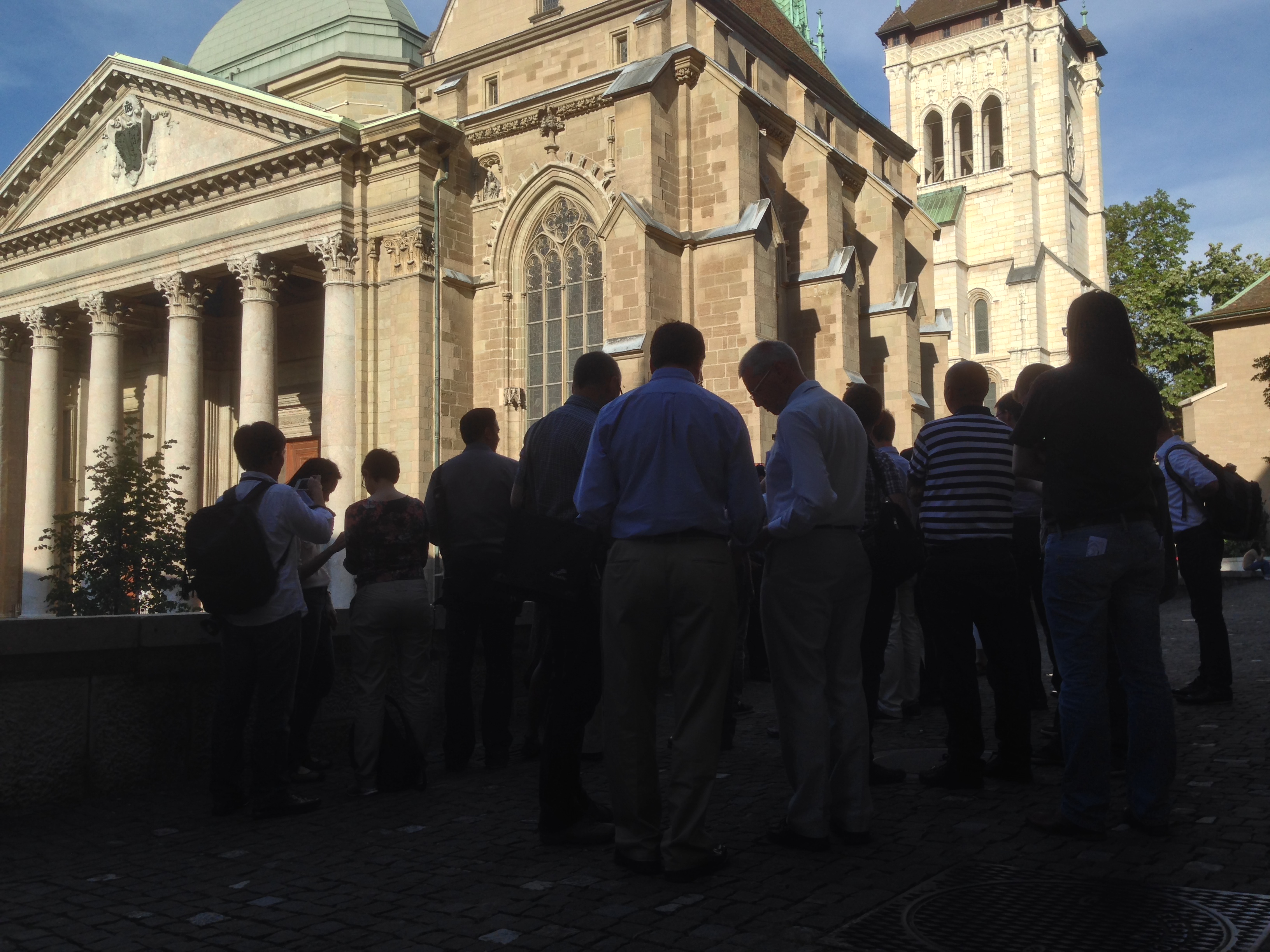
    Under these conditions, we conducted the demonstrations of six showcase projects: 

     – the smartMap Geneva project and Geneva 3D SDI using the 3D models of the buidlings as well as other data sets
     – the CitiesAR Geneva project which shows the 3D models of Geneva attached to the map of the showcase event
     – the i-SCOPE project using the 3D buildings in CityGML 
     – the DiscovAR game using Points of Interest in the city center and
     – the visualization of Geneva city mobile antennas using Swiss OpenData sets in the Chrome browser.

    In addition and despite some difficulty with connectivity, we tested the 3D AR visualization capabilities of Augment (available on both Android and iOS) using the 3D model of the cathedral (it is the only model which is labelled "cathedrale").   

      IMG_2440    IMG_2443
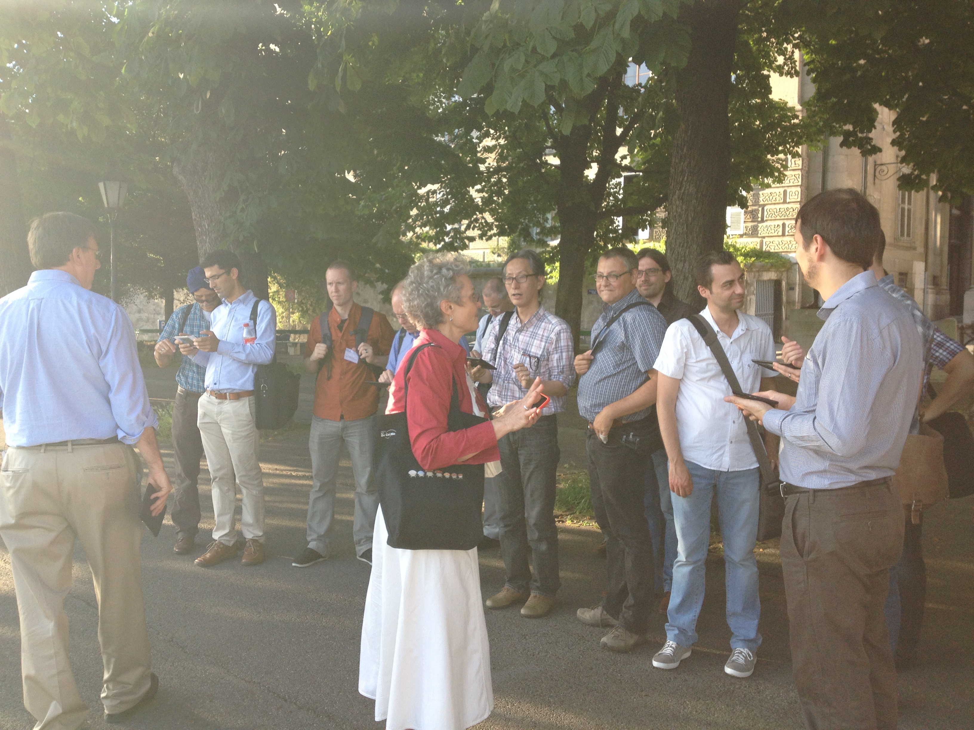
Our next stop was the terrace overlooking the Parc des Bastions.

    At this location the sun's angle was low and the light directly on us so we backed into the shade of trees where we were shown the demonstration of Envitia's MapLink project using city building models, water supply, and tree data sets with GeoPackage and GeoContext files to control the data layers in view.

    We concluded with a toast with fine Swiss wines to the success of the developers and projects in the Parc des Bastions.IMG_2450


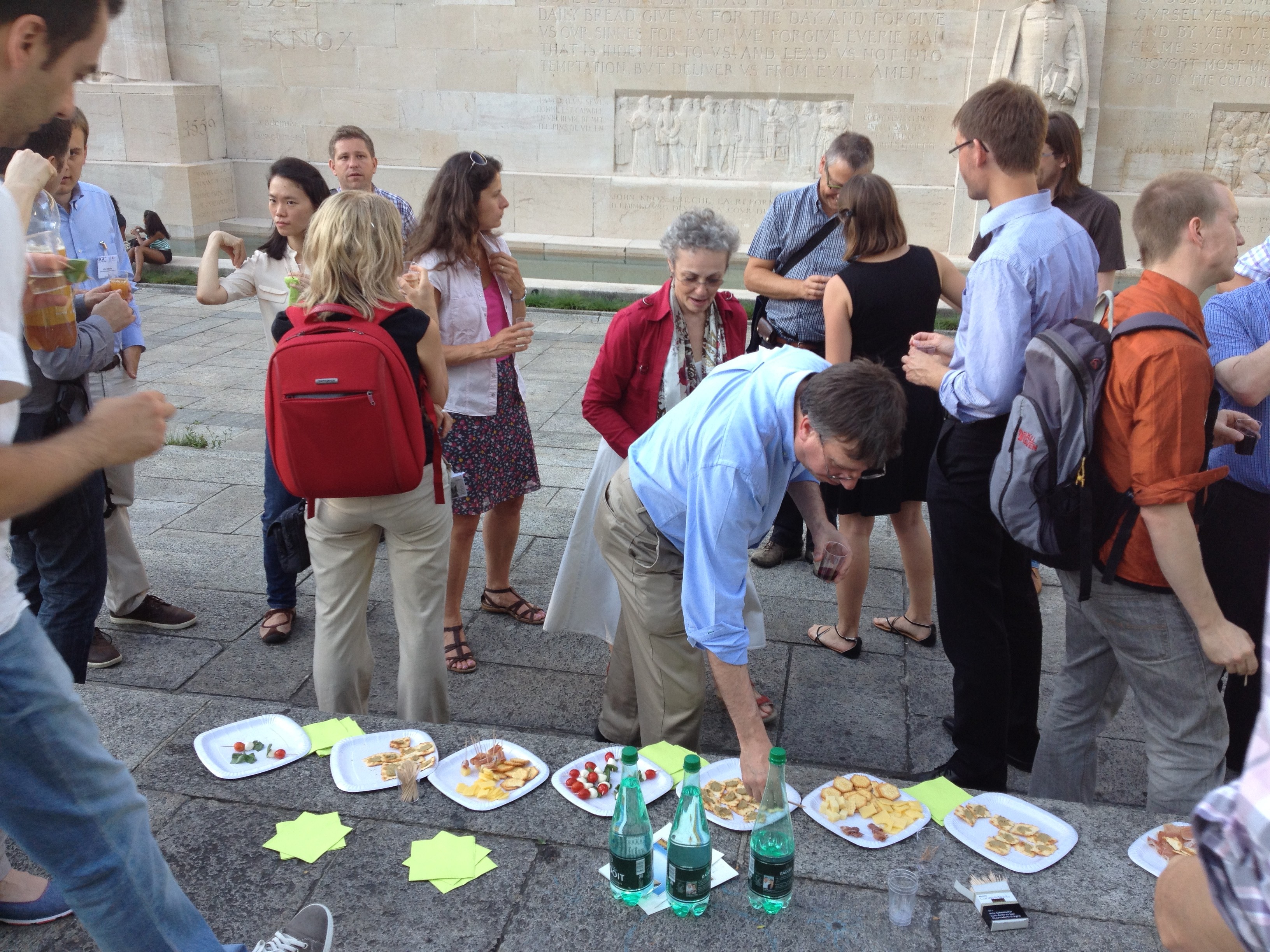
    Although some people had already taken leave of the event, we captured a group photo of the participants in front of the Reformation Wall.IMG_2454


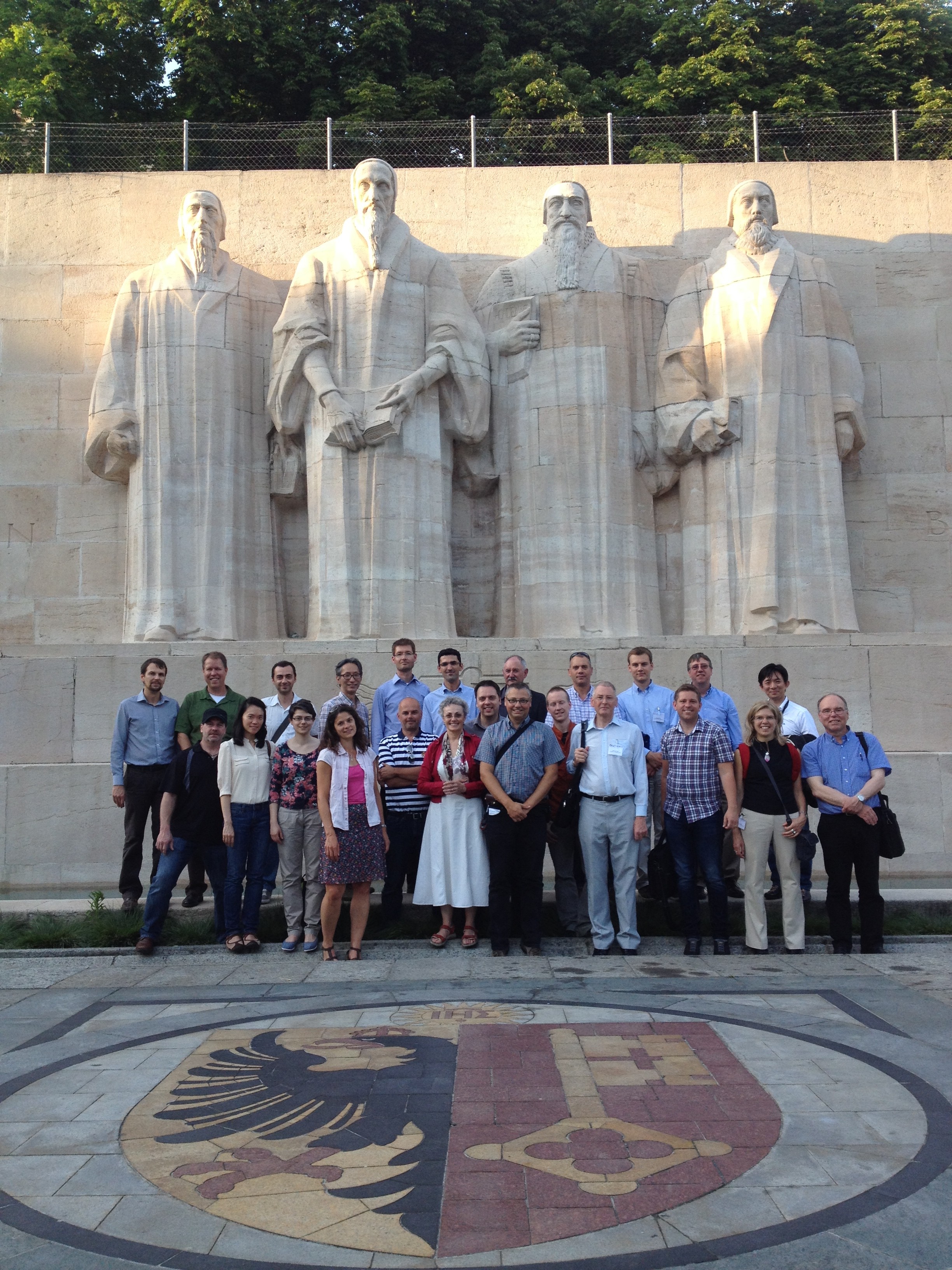
    Thank you to all the sponsors for their support, the developers for their projects and the participants for the enthusiasm for the event.

  • Project Testing Completed

    On June 5th, we loaded all the projects submitted on deadline on the TegraNote 7 tablets and started them up. As you can expect, there were a few surprises, but after contacting the developers we sorted out most of the issues. We also installed the ARMedia ToolSet on the iPhone.

    Then we took the tablets and iPhone into the old city of Geneva for a test drive of the preliminary projects. We discovered some anomolies and we revised our route (new route map coming on the site soon). 

    After our testing we provided feedback to the developers and they are rapidly finalizing their projects for the showcase event on June 11

    Join us at 18h00 in front of the WMO buildng lobby to see the live applications in Geneva! 

  • GEOSS Work Plan Symposium

    On April 28, we were able to attend the Work Plan Symposium of the Group on Earth Observations. During these sessions we learned about current activities to make geospatial information more accessible. The primary target users of the GEOSS (GEO System of Systems) are researchers and policy makers, however, we can imagine how, in the future, the accessibility of data will inspire people who provide services to business and the public at large will also want to use the data. 

    We were particularly impressed with the session on the data sharing principles. The GEOSS Data Sharing Activitiy is developing infrastructure and proposing policy to the data providers and consumers/users. 

    During the session about Science and Technology Commnity, Hans-Peter Plag explained to the audience how he sees the concept of "Human sensor" networks, involving crowd sourced data, leading to data integration at a level never seen before. This visionary speaker called for cross-community activities and warned that there are competitive activities simply due to the fact that certain audiences are unaware of GEOSS work to date. Hans-Peter Plag is an IEEE volunteer working in the International Committee on Earth Observations.

    We also learned about user-driven data GEOSS activities which are highly appropriate to showcases such as 3D Geospatial Geneva. During this session there was a presentation about the EU-fuded CITY-SENSE project that uses mobile sensors to collect data and create a citizen observatory. This seems very complementary to the SmartSantander project.

  • 3D GVA will be introduced to CityGML SWG

    Today we briefed the co-chair of the OGC CityGML Standards Working Group, Steve Smyth, about the 3D Geospatial Geneva Showcase and were invited to present on Tuesday April 29, 2014 to the members of the CityGML Standards Working Group during their weekly meeting.

    The CityGML SWG participants are amongst some of the most active in the world in the use of 3D city models and we look forward to receiving their feedback and suggestions.   

  • Showcase Pre-Event Meeting Schedule

    There's a lot to do before we conduct a successful event on the shores of Lake Geneva on June 11. We can communicate by way of the group mailing list but sometimes it is valuable to get acquainted with others and discover new data sets in casual meetings.

    We invite all those interested in learning about the status of the showcase and who plan to contribute to the success of this showcase to attend our weekly organizational meetings.  

    Two of the seven planned meetings, on May 8 and June 5, will be conducted in person in Geneva.

    Please visit the meeting schedule page for more details. 

  • 3D Geospatial Geneva Showcase Web Site Goes Live!

    We are pleased to share with the public our new web site on which all the information about the showcase project and event is available.

    We also have set up a Google Groups mailing list for the project. Anyone can submit a request to join this Group.